About Us
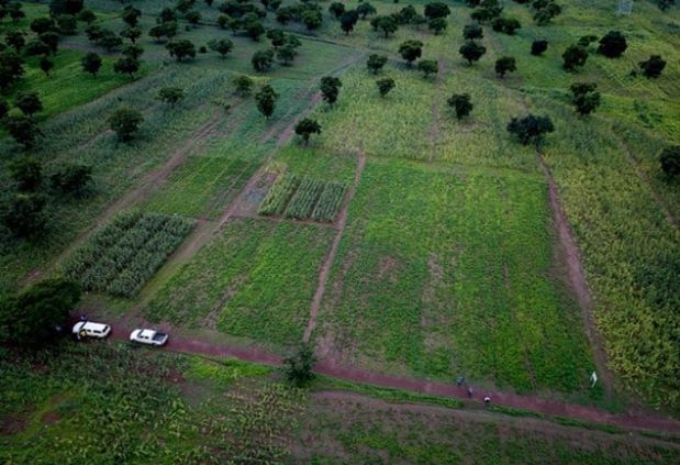
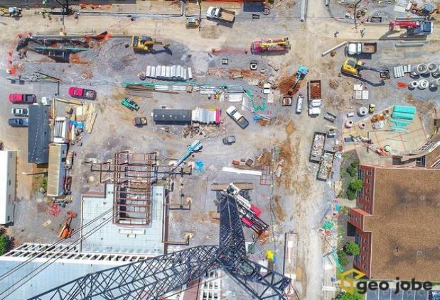
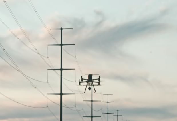
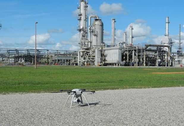
Punta 360 is a young, dynamic and forward thinking company specialising in unmanned aerial surveys. Our team is made up of experienced geospatial information system (GIS) experts with good knowledge of the industry. We provide solutions in GIS and remote sensing with the agility to rapidly adapt to market demands. From our humble beginnings in 2019, Punta360 has been steadily growing to become one of Uganda’s leading unmanned aerial inspection and surveying companies. We specialise in inspection, monitoring, surveying and gathering information in a variety of sectors from construction, oil and gas, power lines to agriculture. We have cutting edge technology and a team of skilled professionals to provide world-class services to private, corporate and government clients across Uganda.